


Hiking the Mestia to Ushguli Trail via Zhabeshi, Adishi & Khalde
- travelwanderthe

- Aug 18
- 3 min read
Updated: Aug 19
Introduction
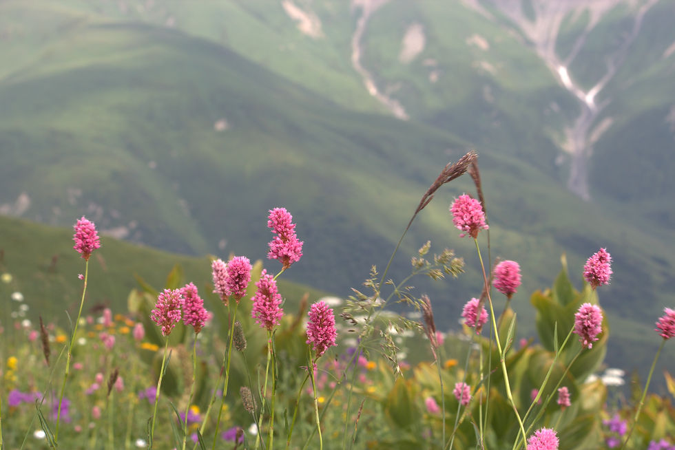
The trek from Mestia to Ushguli stands as one of Georgia’s most stunning high-altitude experiences—an exhilarating journey blending cultural heritage, medieval landscapes, and jaw-dropping Alpine vistas. Our expedition began in the heart of Mestia and unfolded over a tapestry of villages, passes, and breathtaking mountain terrain, culminating in the world-renowned village of Ushguli, perched at some 2,100 meters above sea level.
Day 1: Mestia → Zhabeshi
Distance & Duration: We covered ~12 km in 6–7 hours (though many guides list it as 16 km taking 5–6 hours).
Elevation: Ascended approximately 750–763 m, with around 500 m descent as the trail slopes into Mulkhura valley.
Route Highlights:
Gradual climb through pastures and forest onto the Chkhuti Ridge.
Gentle descent into the Mulkhura River valley, passing serene villages before reaching Zhabeshi at around 1,680 m.
Settled into our guesthouse; the warm hospitality and traditional Svanese atmosphere made a perfect end to an immersive first day.


Day 2: Zhabeshi → Adishi
Distance & Duration: Around 12 km, taking 6–7 hours (some guides list ~10.6 km taking about that time).
Elevation: Stepped up about 900 m, then gently descended around 500–527 m
Route Highlights:
Steep climb toward Tetnuldi Resort, followed by a traverse through radiant alpine meadows.
Reached Adishi, nestled at ~2,040 m; rich in medieval heritage with ancient churches and Svan towers.
A welcome stay in a guesthouse, soaking in local flavors and mountain tales.

Day 3: Adishi → Khalde
Distance & Duration: About 16 km, typically around 6–7 hours.
Elevation: Around 860 m up, followed by a descent of ~900 m.
Route Highlights:
Trek through Adischala valley, cross the river (often on horseback), and ascend the Chkhunderi Pass (~2,600 m).
The summit offers incredible panoramic views—glaciers, ridges, and expanses of the Caucasus.
Descend into Khalde (Khaldechala valley), a village with a storied history of defiance in the 19th century.
Overnight in a local guesthouse, amidst rugged traditions and remote serenity.


Day 4: Khalde → Ushguli
Distance & Duration: ~12–14 km, 5–6 hours
Elevation: Mostly gentle, following the Enguri valley downstream
Highlights:Instead of pushing directly to Ushguli, we ended our hike in Kala, a picturesque village surrounded by lush pastures and river valleys. The trail here was less demanding than the previous days, allowing us to relax and soak in the scenery.
From Kala to Ushguli (by car)
After four days on the trail, we drove from Kala to Ushguli (2,100 m), one of Europe’s highest continuously inhabited villages and a UNESCO World Heritage Site. Surrounded by the snowcapped massif of Mount Shkhara (5,193 m), Ushguli’s medieval towers and timeless atmosphere felt like the perfect finale to our Svaneti adventure.
Tips & Reflections
River crossings—especially after glaciers melt—can be high by afternoon; early crossings or hiring a horse guide helps greatly.
Footwear: Good hiking shoes are ideal—though trekkers have still managed with sneakers on certain stretches.
Seasonality: Weather can be unpredictable—even in summer. Storms, muddy trails, and occasional snow require planning and flexibility.
Final Thoughts
This trek is more than a hike—it’s a journey through Svaneti’s history and beauty. From the hospitality of Zhabeshi, to the glacier views at Chkhunderi, and finally the towers of Ushguli, each day offered both challenge and unforgettable reward.


Comments